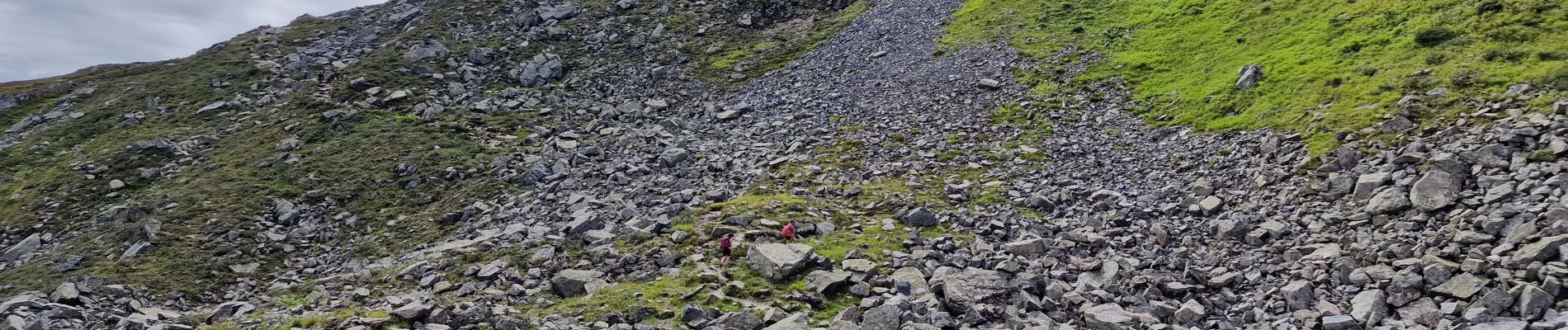
Madrisella Gipfeltour (PVDB) SityTrail > Trails > Outdoor > Austria > Vorarlberg > Bezirk Bludenz > Gemeinde Sankt Gallenkirch SityTrail > Trails > Outdoor > Austria > Vorarlberg > Bezirk Bludenz > Gemeinde Sankt Gallenkirch Madrisella Gipfeltour (PVDB) Peter.vdbergh User GUIDE 3D © OpenStreetMap contributors Length 18.3 km Max alt 2444 m Uphill gradient 785 m Km-Effort 32 km Min alt 959 m Downhill gradient 1836 m Boucle No Creation date : 2023-08-10 09:30:25.653 Updated on : 2023-08-14 10:23:54.335 (0 Reviews) On foot 8h06 Difficulty : Difficult FREE GPS app for hiking SityTrail IGN / Geographical institutes SityTrail World The world is yours! About 
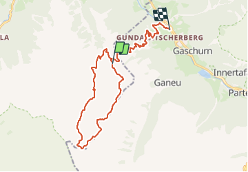
Trail On foot of 18.3 km to be discovered at Vorarlberg, Bezirk Bludenz, Gemeinde Sankt Gallenkirch. This trail is proposed by Peter.vdbergh. Legends | More details (PDF) Elevation profile Legends > 15% 15% - 10% 10% - 5% flat 5% - 10% 10% - 15% 15% - 30% > 30% Photos 21 photos in total. Please click on a photo to see them all in the gallery. Positioning Country: Austria Region : Vorarlberg Department/Province : Bezirk Bludenz Municipality : Gemeinde Sankt Gallenkirch Location: Unknown Start:(Dec) 46.9788227 / 9.9934458 Start:(UTM) 575557 ; 5203290 (32T) N. Comments Please log in to post a review or rate the element Trails nearby Mangold Gaschurn Other activity Very easy Gemeinde Sankt Gallenkirch, Vorarlberg, Bezirk Bludenz, Austria 3.9 km | 6 km-effort Unknown No lbourmau Raid j1 silvettra Touring skiing Gemeinde Gaschurn, Vorarlberg, Bezirk Bludenz, Austria 17.9 km | 39 km-effort 4h 20min No